
Call (303) 552-3896 for any west-side or Big Thompson terrace locate; the grade changes the approach. On a flat lot with uniform soil, a buried pipe failure tends to rise straight up and show itself reasonably close to its source. On the west-side grades of Loveland, that is rarely the case. The terrain steps toward the foothills in irregular slopes, and the underlying soil is the same expansive bentonite clay that characterizes the whole Front Range, which means escaping water does not rise; it travels.
It follows gravity and geology. Down the slope. Along any gravel or sand lens between clay layers. Sideways through a disturbed-soil trench from an earlier utility installation. The wet spot that a homeowner finds at the base of their slope may have started at a pipe failure one lot line uphill, or two, or at the utility corridor in the easement behind the property line.
Why Slopes Change Everything About Leak Locating
The standard surface-sign approach to underground leak locating, finding the wet spot and digging near it, fails on grade. A wet spot on a Mariana Butte or Devil's Backbone approach-road lot is evidence that a leak exists somewhere above it, not a reliable marker of where. Digging at the wet spot on a hillside lot typically produces a muddy excavation that reveals where the water accumulated, not where the pipe failed. The repair, if any is made, does nothing because the failure point is uphill and still leaking into the same path.
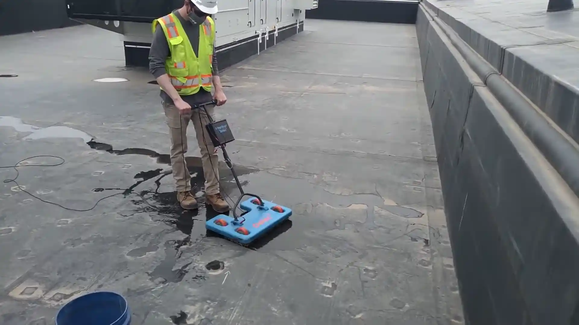
This is the reason electronic leak detection on sloped terrain starts with the pipe route, not the wet spot. The technician traces the buried supply line from the meter to the house, painting its route on the surface in marking paint, before any readings are taken. Once the route is on the surface, the readings have a reference to work from. A correlation receiver placed at two points along a known pipe route can identify the failure point by reading the acoustic signature of escaping water, independent of where the water eventually surfaces.
The Terrain Profile of West Loveland
The western neighborhoods of Loveland, from the older Westwood grid through Mariana Butte and the newer hillside subdivisions toward the foothills, climb several hundred feet over a few miles. The slope is not dramatic by mountain standards, but it is consistent, and consistency is what drives buried-water migration. Every foot of elevation change adds pressure to the downhill movement of escaping water. A service line on a twenty-foot-drop lot is a service line where a crack at the high end can surface forty or fifty feet downhill before it rises.
The terrain also creates grade changes at property boundaries where retaining walls, fill, and cut sections introduce soil interfaces. Escaping water finds these interfaces and follows them, which can produce wet spots at the face of a retaining wall that has nothing to do with the retaining wall itself; the water entered the soil from a pipe failure on the lot above and found the interface.
Detection Method Choices on Sloped Ground
| Ground condition | Best primary method | Limitation |
|---|---|---|
| Dry, consolidated clay on grade | Acoustic correlation from pipe route | Dry clay amplifies; works well |
| Saturated clay (wet season or active leak) | Tracer gas (helium/N2 mix) | Saturated soil absorbs acoustic signal |
| Rocky or cobble pockets | Correlation + gas in sequence | Signal scatters in cobble; gas survives |
| Deep fill or disturbed soil on slope | Pressure isolation + correlation | Isolate zone first, then read |
| Long run, multiple grade changes | Segment isolation + two-point correlation | Long runs need multiple read points |
Mariana Butte: The New-Build and Grade Combination
The Mariana Butte neighborhood combines new-construction PEX plumbing with hillside terrain and the expansive clay that underlies the whole region. PEX on a slope is more flexible than copper and resists the cracking that clay movement inflicts on rigid pipe. But PEX fittings on a slope are still subject to the same pressures, and a fitting failure on a Mariana Butte lot will migrate downhill the same way any other failure does. The difference is that the failure mode is at fittings rather than in the pipe body, which changes what the acoustic equipment hears: a fitting weep sounds different from a pipe crack.
For the newer hillside properties, the meter test is still the right starting point. A moving meter with everything off confirms water is leaving the pressurized system; pressure isolation between the meter and the house identifies which side the failure is on. From there, a Mariana Butte locate runs the trace from the meter, not from the wet spot.
Big Thompson River Terrace Lots
The lots along the Big Thompson River terrace, in Thompson Heights and the neighborhoods stepping up from the river corridor, have their own underground-leak challenge. River-terrace soil is a mix of cobble, sand, and fill deposited by the river over time. This variability means escaping water finds channels through the cobble seams that can carry it far from the failure point. Electronic correlation on terrace lots often requires tighter sensor spacing because the signal degrades faster in cobble than in consolidated clay.
The 1976 Big Thompson Canyon flood deposited material across a wide area of the eastern flats and lower river terrace. Properties in the post-flood fill zones may carry mixed-soil profiles that create unexpected water-migration paths in a buried-line failure. The locating work on these lots accounts for the soil variability by running multiple read points along the traced pipe route before committing to a mark.
Call Before Digging
The most common and most avoidable underground-leak mistake on a Loveland hillside lot is digging at the wet spot. On a slope, the wet spot is where the water ended up; the pipe is where the water came from, which is uphill. An excavation at the wet spot on a grade reveals saturated soil and no pipe, because the pipe is somewhere up the slope.
Call (303) 552-3896 before any digging on a west-side or river-terrace lot. The locate traces the pipe route, isolates the failure segment, and marks the actual failure point. On a hillside lot, the mark is typically uphill of the wet spot, sometimes by one full lot line. The repair happens at the mark, and the wet spot dries out on its own.
Pressure Loss and the Slope Factor
A buried failure on a supply line running downslope loses pressure from both the leak itself and the elevation drop. A homeowner at the bottom of a long slope lot may notice a pressure drop at upstairs fixtures before any wet spot appears, because the supply line is losing both flow and head pressure at the failure point uphill. If pressure has dropped noticeably at a hillside property and no indoor cause is found, the buried supply line is the next thing to pressure-test. Call (303) 552-3896 for a pressure-test and trace on any west-side or elevated property where the wet spot is uncertain or absent and pressure has dropped.